
Welcome to the Sarıkamış Trails
Kars-Sarıkamış
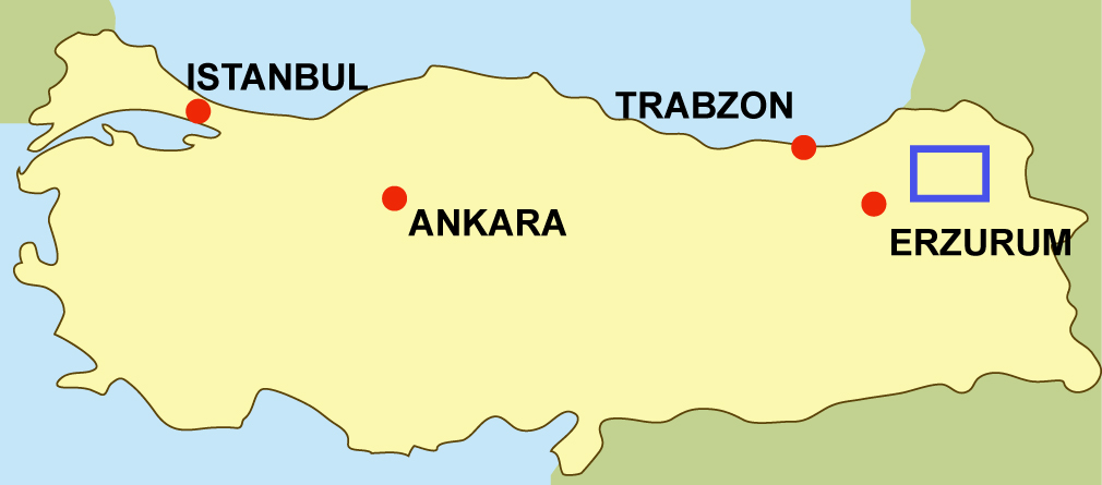
Expanding over high plateaus found at altitudes of 1500 through 3000 metres, Sarıkamış falls to the southwest of Kars Province. Located at the edge of Kars Duzu (Kars Plain) besieged by Mounts Allahuekber, Soganli and Gullu, Sarıkamış is at the spot where the Anatolian peninsula transitions to Caucasia (Transcaucasia region). The settlement bears all geographical characteristics of Eastern Anatolia Region and its lands demarcated by Selim and Senkaya townships of Erzurum Province) from the north, Horasan and Eleskirt townships (of Erzurum) from the south, Selim and Kagizman districts from the east and Senkaya and Horasan population centres from the west.
In a geography where these protruding surface contours form deep corridors, there exist such canyons as Keklik, Komdere and Inkaya. These canyons are covered with dense and lush Scots pine forests, which are also identified with the name Sarıkamis and are renowned for their beautiful layouts.
About the Route
Mainly, routes are concentrated on two regions; Sarikamis and Susuz Valley. Being one of Turkey’s major ski centres,Sarıkamış impresses her guests with her spectacular beauties. This cute little town of the east, where you will feel the comfort and warmth of a friend’s house, presents a real tourism potential with its natural and historical heritage. In addition to its existing winter tourism dynamics, Sarıkamış aims to bring together nature-lovers with alternative tourism activities.
Sarıkamış trails reach a total length of 256 kilometres in aggregate, on 21 different routes. On these trails which effectively use the valleys of Keklikdere, Komdere and Inkaya, as well as the generic Scots pine forest texture any nature-lover is welcome to walk comfortably and without any hardships. Apart from the walking trails, we have created cycling routes following forest and village roads. The total length of these routes trespassing oxygenrich forest environs reach at 356 kilometres. Moreover, we have opened the cultural routes which help a more comprehensive visiting and better understanding of the cultural and historical heritage that fall within district boundaries, in addition to the 428 kilometres long landscape motoring route, encompassing sceneries of both historical and natural beauties, to serve for the likes and interests of the travellers.
In Kars, in addition to Susuz Valley trails, we have cycling routes all over the city. For the first time in Turkey, a well planned city tour map of Kars is ready for the travellers. You can select any one of the distinct thematic routes related to history (Ani Ruins, churches, castles, bastions and martyrdoms tours) and nature. Botanical and bird watching tours are for those who want to be close to the wild life. Finally, Boğatepe Ecotourism Village waits for the nature enthusiasts to collect healing plants and to learn cheese making.

For more information in Turkish, visit
http://www.ersindemirel.blogspot.com/2012/01/sarikamis-yuruyus-parkurlari.html for Sarikamis
and http://www.ersindemirel.blogspot.com/2012/07/kars-parkurlari.html for Kars routes.
The best season to walk the routes is between May and October.