Welcome to the Kure Mountains Trail
National Park with canyon and forest routes
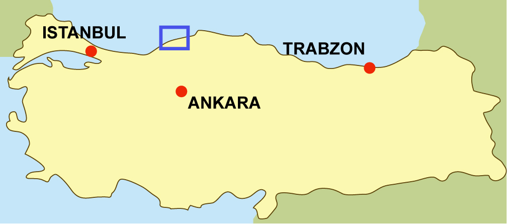
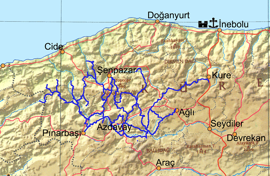
Küre Mountains
The Wildlife Fund (WWF) criteria for protected sites include integrity of the site, biodiversity, wild life, endemism, rarity, sensitivity, and severity of threats. The Kure Mountains National Park, a unique part of Turkey’s geography, met all criteria. The National Park covers an area straddling parts of Kastamonu and Bartin provinces. The park includes unspoilt land home to endemic plants, fauna, a unique microclimate, interesting geomorphologic structures, deep valleys and gorges, rushing rivers, waterfalls and local culture. The park, covering 370 square kilometres, is truly an open-air museum, and boasts a biodiversity that rivals almost any in the world. The World Wildlife Fund (WWF) selected the National Park as one of one hundred sites requiring urgent protection, and one of nine hotspots in Turkey.
About the Route
The Directorate of Kure Mountains National Park began marking the trekking route as part of an ecotourism project, and the work was completed in 2010. The 482 kilometres long route contains 36 marked trails and, counting alternative trails, the total trail length stretches to 762 kilometres; mountain bike trails measure 828 kilometres. Walkers of varying ability and interests can enjoy short walks, day trips and longer, more arduous hikes. The longest routes require a week of walking and camping. Ambitious walkers can start on the adjoining Yenice Forest trails, hike the whole of Kure Mountains National Park, and finish on the Istiklal Route (Independence Trail), a 500 kilometres long hiking trail which takes a month.
The best season for trekking is between May and November. During the winter the region is snowbound and silently beautiful.
For more information, visit Kure Mountains National Park’s website; http://www.kdmp.gov.tr/default-en.asp
For more information in Turkish, visit http://ersindemirel.blogspot.com/2011/01/kure-daglari-milli-parki.html