
Lycian Way
Turkey’s first long-distance trekking route
Lycian Way Background
Lycia is the historical name of the Tekke Peninsula, which juts into the Mediterranean on Turkey’s southern coast. The mountains rise steeply from the rocky coast, giving beautiful views and varied walking. Forestry predominates; pines are mixed with strawberry trees and carob, and give way to juniper and cedar at higher elevations. Along with coastal tourism, high-intensity agriculture is crowded onto the deltas.
The Lycians were a democratic but independent, warlike people, with a developed art style and a high standard of living. Their strategic position gave them unique opportunities for sea-trade and (at times) for piracy. After Persian rule, the Lycians welcomed Alexander the Great and absorbed Greek culture. Later, Lycia became a province of the Roman Empire. The Romans developed many cities and ports, linking them with paved roads and equipping them with theatres, baths, forums, temples and ceremonial gates. From the 4th Century, Christianity took hold and, as the Roman empire crumbled, many Byzantine monasteries were founded in the Lycian hills. Lycian graves and ruins abound on the peninsula and the Lycian Way passes about 25 remote historical sites.
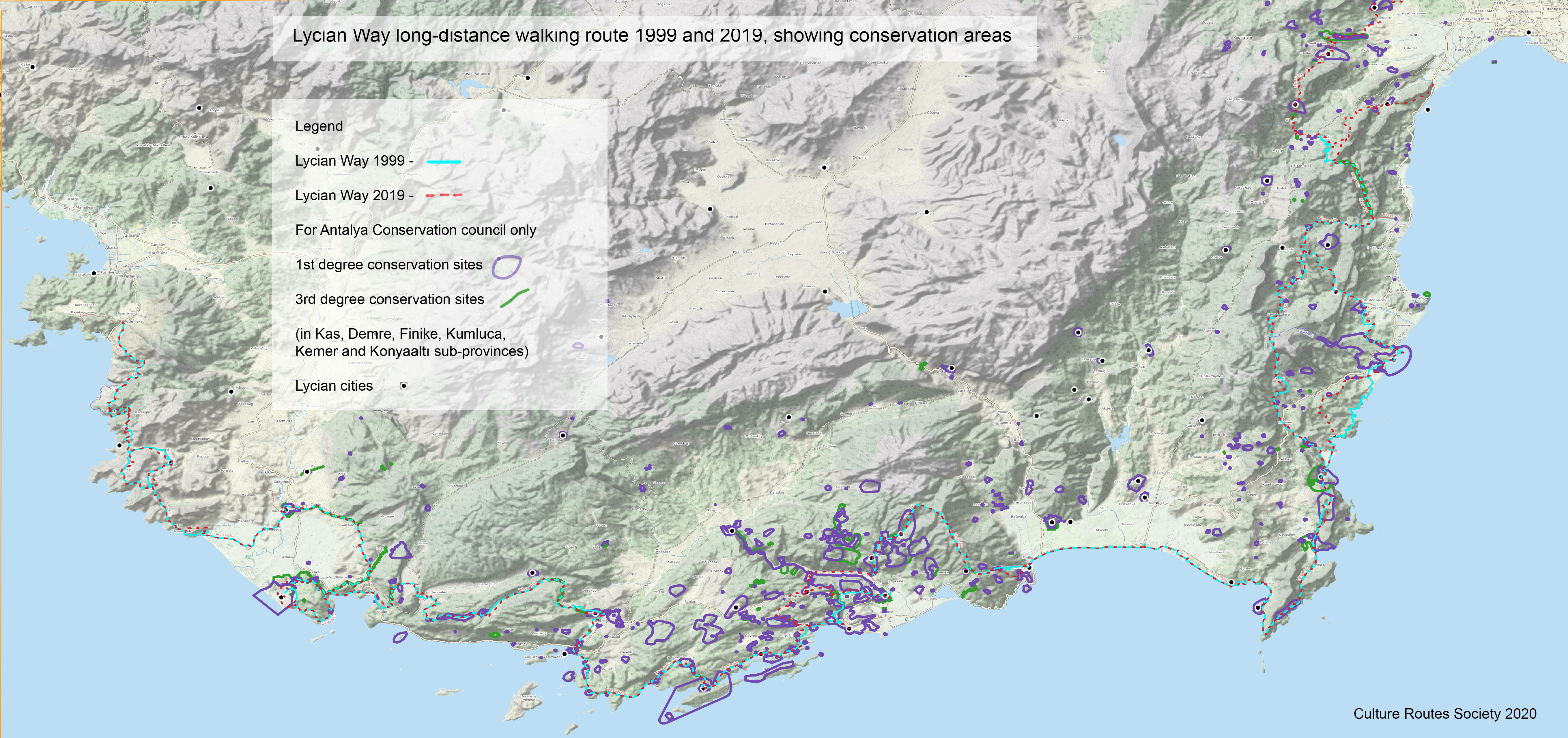
Please click here for the map of the conservation areas of the Lycian Way.
Map as of March 2023
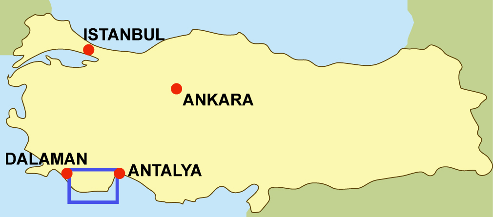
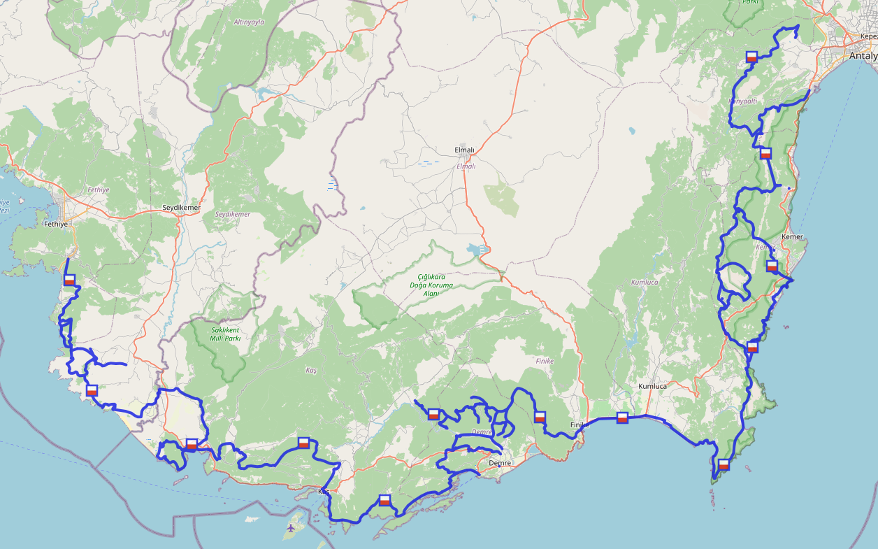
The Lycian Way is a 760 km, 35-day way-marked footpath around the coast of Lycia in southern Turkey, from Fethiye to Antalya. The trail consists mainly of Roman roads, old footpaths and mule trails, often hard and stony underfoot, not suitable for mountain bikes. Lying between the coast and mountains, it often has steep gradients. It was researched, designed and waymarked by Kate Clow, a British/Turkish amateur historian, in 1999. Turkey’s first long-distance walking route, it was made in order to identify and protect some of Turkey’s old roads. It now includes St Nicholas Ways, a network of paths connecting ruined Byzantine monasteries above Demre, linked to the Lycian Way.
The start point, at Ölüdeniz, is 2 hours from Dalaman airport and the end point is now at Geyikbayırı, from which there are daily buses to Antalya. We are working on a link to the St. Paul Trail, which will open in 2019. If you want to walk this 10-day connection route now, please mail us. In addition, at three places along the trail are groups of local walking routes, marked in yellow and red. These are the Fethiye trails network (created by Ersin Demirel for the Fethiye Chamber of Trade, but no longer maintained); Kemer Trails, maintained by the Kemer Municipality, and Konyaaltı Trails, maintained by the Konyaaltı Municipality.) Some of these are included or linked to the Lycian Way, so you may see red and yellow signs. All the linked trails are shown on Open Street Map (see the relevant page), so you can use them as well as the Lycian Way.
There is good public transport all along the trail and opportunities to swim, canoe or paraglide. Trekking is best in spring or autumn – February-May or September-November. We especailly recommend February, which is often warmer and sunnier than March. Summer in Lycia is too hot for long walks. Except for 3 high-level sections, every night you can find accommodation in village houses, pensions or small hotels. Independent trekkers will find plenty of wild camping places with nearby water.